Alliance for Safe Navigation, & chart reality questions

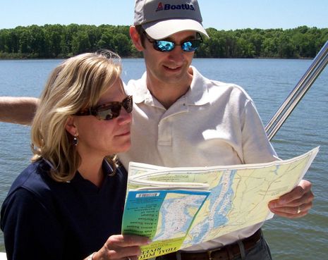
The photo is from a BoatUS press release discussing how it, NOAA, and several other organizations are concerned that many boaters are using outdated charts. They've even got a survey going (quick and easy), and I bet the results will confirm their worry. But while the new Alliance for Safe Navigation they've formed leads to a neat Notice to Mariners tool I hadn't seen before, I worry about more than keeping up with NOAA's chart changes...
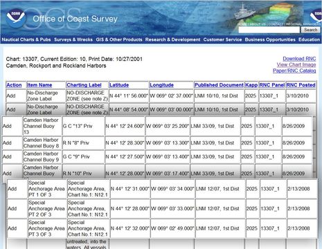
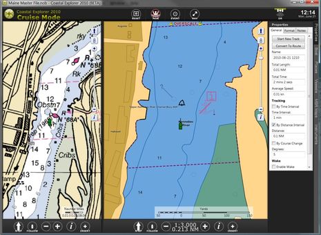
No offense meant to NOAA, but I question its ability to manage the data it's already amassed and to keep up with ground truth. When I look up my local chart 13307 at the nifty NTM site, I notice the odd new private channel buoys -- the real ones aren't cans or nuns, aren't numbered, and most aren't where charted -- along with the special anchorage boundary that somehow got an extra corner on the ENC version, a confusion that's now being copied by some of the commercial chart makers. (As illustrated here and here.) Admittedly these are fairly trivial matters, but if they can get screwed up en route to your chart plotter or charting program, what else has? I also worry about electronic chart presentations. Remember my friend who hit a slightly submerged crib on the Kennebec river and wanted to blame his Garmin charts? Well, check out the BlueCharts seen on that entry versus the RNC and ENC views of the same area below. I don't think the ENC, though zoomed in, warns folks about those cribs nearly as well as the RNC/paper chart, or the Garmin chart.
So how do you all deal with these issues? Do you keep your charts updated? Have you seen errors? Where else do you look for info? Do you still use paper charts sometimes (honest answer, please)? Which electronic charts do you favor, and why? Do you have tricks to get the presentation optimal?


 Share
Share
Ben, We use C-Map with our plotter and NOAA charts on the computer, BUT, we always have paper charts on hand and out in use when under way. If anything on the plotter looks strange or unclear we refer to the paper charts. The paper charts are always used in the daily planning and the electronic charts are used along the way. We make notes of problem areas in advance and keep those notes at the helm. IMO relying on electronics alone is foolish for the prudent Skipper. And of course we use the most current paper charts available.