
Free U.S. raster charts, it's official
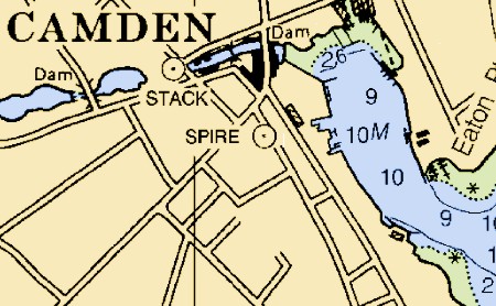
Wow! The CRADA (Cooperative Research and Development Agreement) that made Maptech the only official source of NOAA Raster Navigation Charts (RNCs, like the snip above, which are like paper charts) is over, and the new plan sounds terrific. Maptech will continue to use its expertise to produce/update the RNCs, but will deliver them weekly, in unencrypted .bsb format, to the Office of Coast Survey (OCS), who will distribute them over the Web. Anyone will be able to download them for free, including commercial vendors who can encrypt, add value, and repackage them (within certain guidelines). While this development has been rumored about for some time, this is now the official word from OCS, though “No date has been set by which this distribution of free raster charts will begin.” A free portfolio of U.S. RNCs—which, unlike the ENCs, is complete—will really stimulate PC and Mac charting programs and I think has already motivated some of the price slashing and big value adds in the vector chart segment (just check out the “charts” section of Panbo). Above all, I suspect it means that eventually just about every salt water boat in America will have some sort of plotting device aboard. Hats off to NOAA, and let’s hope that some the world’s other hydrographic offices follow its lead (don’t hold your breath).
Update, 8/10: I’m getting questions about how “official” this news really is. My source is a fairly formal e-mail sent by OCS to a developer. It seems quite genuine and clearly states what I wrote above. But please note the one sentence I directly quoted; we do not yet know when this will happen.
Update 2, 8/10: Another developer I know called OCS and spoke with the gentleman who heads up the RNC division. He verified the above and also said that their goal is to have all RNCs online by the end of this year, if not sooner.
Update, 8/11: Alright already! I finally did what a better (and less busy) reporter might have done in the first place; I spoke directly with the Public Affairs Officer at OCS. He verified this story completely, but said that NOAA didn’t plan an announcement until free downloading is immanent. So, no, you won’t find this on an official Web site, but, yes, it is official.
Why do my posts keep getting censored here? Very strange given their vanilla content. Anyhow, I would agree that other countries are not going to follow suite with releasing charts any time soon, if ever. It's sad, but I think too many countries, Britain in particular, are unwilling in general to give up what seem to be good revenue sources